《Table 3 Ten elements to facilitate Google Earth based reference data interpretation》
 提示:宽带有限、当前游客访问压缩模式
本系列图表出处文件名:随高清版一同展现
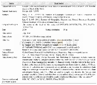
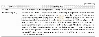
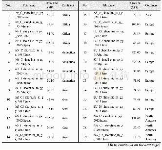
《基于Google Earth的世界屋脊生态地理区GlobeLand30(2010)验证点数据集》
Spatial information:As with temporal information,a sample may be better interpreted in a spatial context.Sometimes,it is hard to give a sample a class only looking at local information,yet putting this sample in a broader space(typically,a vertical or horizontal zone),it becomes easier,from this wider spectrum,to determine this sample belongs to a“typical class”,or mere a“transitional class”.
| 图表编号 | XD00110329600 严禁用于非法目的 |
|---|---|
| 绘制时间 | 2019.09.25 |
| 作者 | 王正兴、刘闯、Win Naing Tun |
| 绘制单位 | 中国科学院地理科学与资源研究所资源环境信息系统国家重点实验室、中国科学院地理科学与资源研究所资源环境信息系统国家重点实验室、Resource and Environment Myanmar Co., Ltd. |
| 更多格式 | 高清、无水印(增值服务) |
查看“Table 3 Ten elements to facilitate Google Earth based reference data interpretation”的人还看了
-

- 表3 大别造山带硬玉石英岩稀土元素分析结果及比值 (×10-6) Table 3 Analytical results and ratios of rare earth elements of jadeite quartzite in th
-

- Table1 Metadata summary of“Google Earth images based land cover data validation dataset for GlobeLand30(2010)in the regi


