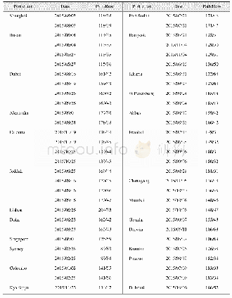
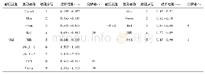
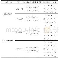
《Table 2 Landsat 8 OLI images used for coastline classification》
 提示:宽带有限、当前游客访问压缩模式
本系列图表出处文件名:随高清版一同展现
《“一带一路”25个港口城市及其周边区域海岸线分类数据集(2015)》
According to their utilization status,the coastline data were classified into 8 categories,which are natural coastline,Groin and Jetty,Harbor and Wharf,Reclamation,Aquaculture dike,Salt pan dike,Traffic dike and Sea wall(Table 3).
| 图表编号 | XD0027621500 严禁用于非法目的 |
|---|---|
| 绘制时间 | 2017.09.25 |
| 作者 | 宋洋、侯西勇 |
| 绘制单位 | 中国科学院烟台海岸带研究所、中国科学院大学、中国科学院烟台海岸带研究所 |
| 更多格式 | 高清、无水印(增值服务) |


