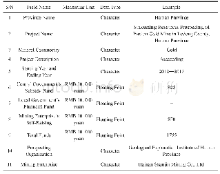
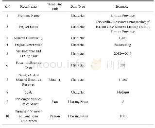
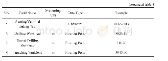
《Table 1 Summary of the RamsarSites_Top100_WetlandCover_2001/2013 metadata.》
 提示:宽带有限、当前游客访问压缩模式
本系列图表出处文件名:随高清版一同展现
《大型国际重要湿地边界及遥感分类数据集(2001、2013)》
The metadata of the boundaries and remote sensing classification datasets on large wetlands of international importance in 2001 and 2013 is summarized in Table 1[4].It includes the dataset full name,short name,authors,year of the dataset,temporal resolution,spatial resolution,data format,data size,data files,data publisher,and data sharing policy,etc.
| 图表编号 | XD0027618700 严禁用于非法目的 |
|---|---|
| 绘制时间 | 2017.06.29 |
| 作者 | 张海英、牛振国、许盼盼、陈燕芬、胡胜杰、宫宁 |
| 绘制单位 | 中国科学院遥感与数字地球研究所遥感科学国家重点实验室、中国科学院遥感与数字地球研究所遥感科学国家重点实验室、中国科学院遥感与数字地球研究所遥感科学国家重点实验室、中国科学院遥感与数字地球研究所遥感科学国家重点实验室、中国科学院遥感与数字地球研究所遥感科学国家重点实验室、山东农业大学资源与环境学院 |
| 更多格式 | 高清、无水印(增值服务) |


