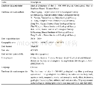
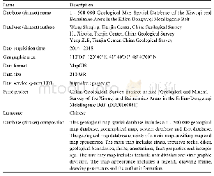
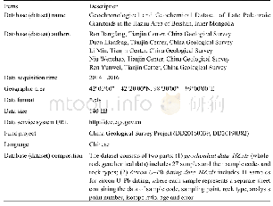
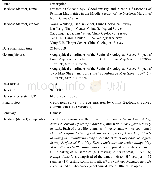
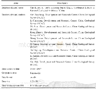
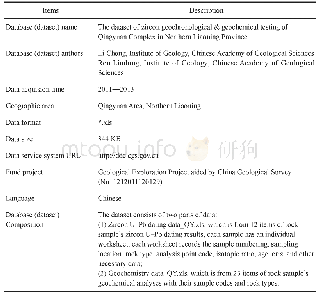
《Table 1 Metadata Table of Database (Dataset)》
The 1∶50 000 geologic map of the Shimen Map sheet,Henan Province was developed according to the‘Technical Requirements for Regional Geological Surveys(Scale:1∶50 000)’based on remote sensing (RS),global satellite positioning system (GPS)and geographical information system(GIS).It was guided by the contemporary systematical perspective of geosciences and new theories on the research of orogen and regional geologic tectonics.During the development of the map,a basic geological survey of the study area was conducted by applying the Point–Routing–Boundary (PRB)digital mapping technique,following the principles of combining remote sensing interpretation with ground survey and combining macroscopic with microscopic geologic mapping.The geographical base map of the 1∶50 000geologic map is taken as the latest geographic data from the National Administration of Surveying,Mapping and Geoinformation of China,and the data were processed by applying existing technical standards and using computer software such as DGSS and Map GIS.
| 图表编号 | XD00219953500 严禁用于非法目的 |
|---|---|
| 绘制时间 | 2020.06.01 |
| 作者 | 李开文、方怀宾、晁红丽、刘坤、王小娟 |
| 绘制单位 | 河南省地质调查院、河南省金属矿产成矿地质过程与资源利用重点实验室、河南省地质调查院、河南省地质调查院、河南省地质调查院、河南省地质调查院 |
| 更多格式 | 高清、无水印(增值服务) |
 提示:宽带有限、当前游客访问压缩模式
